
WASHINGTON, D.C., June 1, 2024—The 2024 Atlantic hurricane season begins today and runs through Nov. 30.
And according to forecasters, it promises to be hyperactive, a technical weather term meaning it’s gonna be a doozy.
Nearly all prognosticators have forecast their highest predictions to date, meaning they’ve never forecast so many storms in one season before.
National Oceanic and Atmospheric Administration forecasters at the National Weather Center’s Storm Prediction Center are forecasting an above-average hurricane season with Florida’s Gulf Coast in the bullseye.
NOAA forecasters are predicting a range of 17 to 25 total named storms. That stacks up with Colorado State University’s Tropical Weather & Climate Research team’s forecast of 23 named storms, AccuWeather’s 20-25 named storms and The Weather Channel’s 25 named storms for the 2024 season.
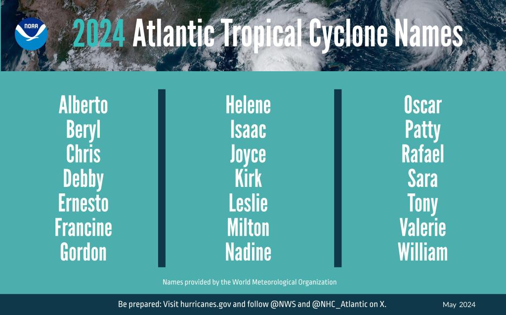
If everyone is correct, the 21-name hurricane list will be exhausted and the supplemental list will have to be used.
NOAA’s outlook for the 2024 Atlantic hurricane season predicts an 85 percent chance of an above-normal season.
Of the 17-25 named storms, eight to 13 are forecast to become hurricanes, including four to seven major hurricanes (category 3 or higher).
Why such high predictions?

All the ingredients are there to make 2024 a hyperactive hurricane season, according to experts, due to a convergence of factors, including near-record warm ocean temperatures in the Atlantic Ocean, development of La Niña conditions in the Pacific and a stronger Bermuda High in the Atlantic, all of which tend to favor tropical storm formation.
March Atlantic water temperatures were near or above record warm levels, higher than in 2005 and 2020, two above-average seasons. This means frequent development and rapid intensification of storms.
Water temperature will likely be well above-average temps during the peak of the hurricane season in August through October.
El Niño is forecast to transition to La Niña during the peak of the season which means reduced Atlantic trade winds and less wind shear. Decreased upper-level winds will favor hurricane formation and intensification.
Gulf Coast bullseye
Another prediction is more hurricanes will track closer to the eastern coast of the United States, the Caribbean and more importantly for this area and Florida overall, the Gulf coast.
This is because what is known as the “Bermuda High,” a high-pressure area over the north Atlantic Ocean, will be stronger this season which will push storms lower into the tropics and the Gulf of Mexico.
To help prepare for natural disasters, and hurricanes in particular, the first of two Florida Disaster Preparedness Tax Free holiday begins today and runs through June 14. Floridians can stock up on emergency supplies tax free for the next 14 days.
