
HOLT, Fla., June 30, 2024—Hurricane Beryl has strengthened to category 4 storm.
It’s not only the first storm of the season, but the first major storm of the season and the earliest and strongest June hurricane on record in the Atlantic basin.
Data from an Air Force Reserve Hurricane Hunter reconnaissance flight indicate sustained winds have reached 130 mph with higher gusts and a minimum pressure of 964 mb.
On its current track, the storm’s core is forecast to cross the Windward Islands tomorrow morning, then cross the Caribbean Sea during the following days.
According to the National Hurricane Center, Beryl will likely strengthen more through the night tonight and is expected to be a “very dangerous category 4 hurricane” when it moves through the Windward Islands.
“Models show a gradual increase in shear when the system moves across the Caribbean Sea and that should cause Beryl’s intensity to level off and then gradually weaken,” according to the NHC forecast discussion.
“Potentially catastrophic hurricane-force winds, a life-threatening storm surge and damaging waves are expected when Beryl passes over portions of the Windward Island,” according to the key message from the NHC.
Maximum wind speed for Beryl is currently forecast to reach 140 mph in the next 12 hours.
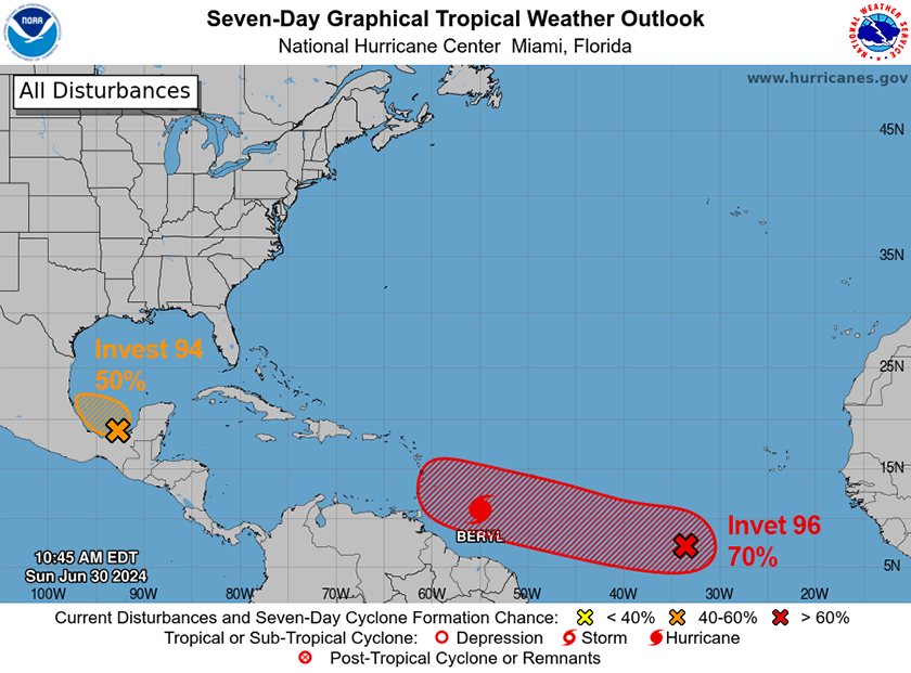
Behind Beryl, Invest 96 continues to move west-northwest, mirroring the hurricane’s path. It has a 70 percent to develop into a tropical depression in the next seven days.
This is the third back-to-back tropical wave to develop in the same general area of the Atlantic with a similar forecast track within a five-day period.
