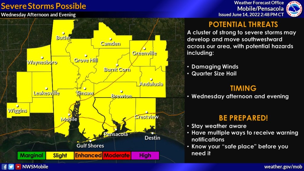
HOLT, Fla., June 14, 2022—The entire forecast area will be under a level 2 risk for severe weather tomorrow, according to the National Weather Center’s Storm Prediction Center.
A cluster of strong to severe storms may develop along the Georgia/Alabama border and move southwestward across the area late Wednesday afternoon into the early evening.
Strong damaging wind gusts, quarter-size hail and locally heavy rains will be possible with any of the strongest storms that develop, according to the NWS.
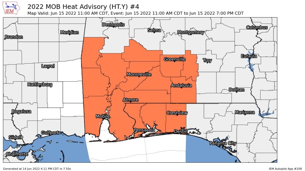
Additionally, yet another heat advisory will be in effect from 11 a.m. to 7 p.m. for the western Florida panhandle as well as southwest and south central Alabama with a heat index from 105-111 degrees.
