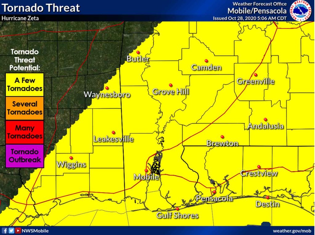
HOLT, Fla., Oct. 28, 2020—The National Weather Service in Mobile is forecasting an increase in the possibility of tornado activity this morning as Hurricane Zeta continues its path toward the Gulf coast.

Re-strengthening into a hurricane overnight, Zeta is expected to make landfall over southeastern Louisiana as a significant hurricane this afternoon, according to the National Hurricane Center.
Zeta’s winds are at 90 mph with some additional strengthening forecast this morning. The NHC is forecasting peak intensity at 100 mph making Zeta a category 2 storm.
An Air Force Reserve Hurricane Hunter aircraft mission reported pressure has dropped to 978 mb with a 25-to-30 mile-wide eye.
Zeta is picking up speed and is now moving northwest at 17 mph. It’s expected to speed up more as it moves across the Gulf of Mexico today.

The storm’s acceleration near landfall means strong winds are likely to spread well inland along the northern Gulf coast this evening and tonight, according to the NHC.
Numerous downed trees and powerlines and scattered power outages are expected, according to the NWS.
The system will move into this area as a strong tropical storm tonight, according to the NWS.
Impacts from Zeta will occur to the east and northeast of landfall tonight into early Thursday morning, according to the NWS.
NHC and NWS forecasts
