
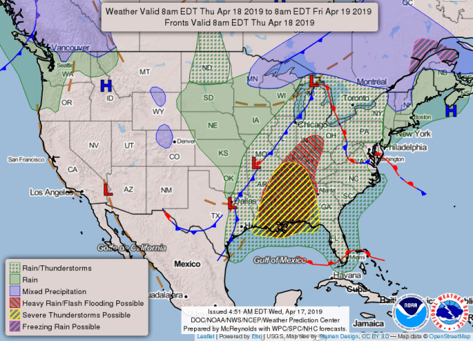
The entire forecast area is now included in the enhanced risk area for Thursday. (National Weather Service)
HOLT, Fla., April 17, 2019–An enhanced risk of severe weather is now in place across the entire forecast area for Thursday.
Severe storms are expected to move though this area between 7 p.m. tomorrow evening through 4 a.m. Friday morning.
Primary threats associated with this system will be damaging winds of 70 mph or higher and the possibility of EF-2 or stronger tornadoes, according to the NWS.
The NWS recommends making sure cell phones are charged and residents have multiple ways to receive warnings, especially considering the nighttime hours of the storm’s arrival, should dangerous weather strike.
