
HOLT, Fla., Sept. 14, 2020—The National Hurricane Center adjusted the three-day cone for Tropical Storm Sally to the east and it now includes portions of northwest Florida.
While not on the centerline of the cone, portions of northern Escambia County and other counties east are in the 7 a.m. updated graphic.
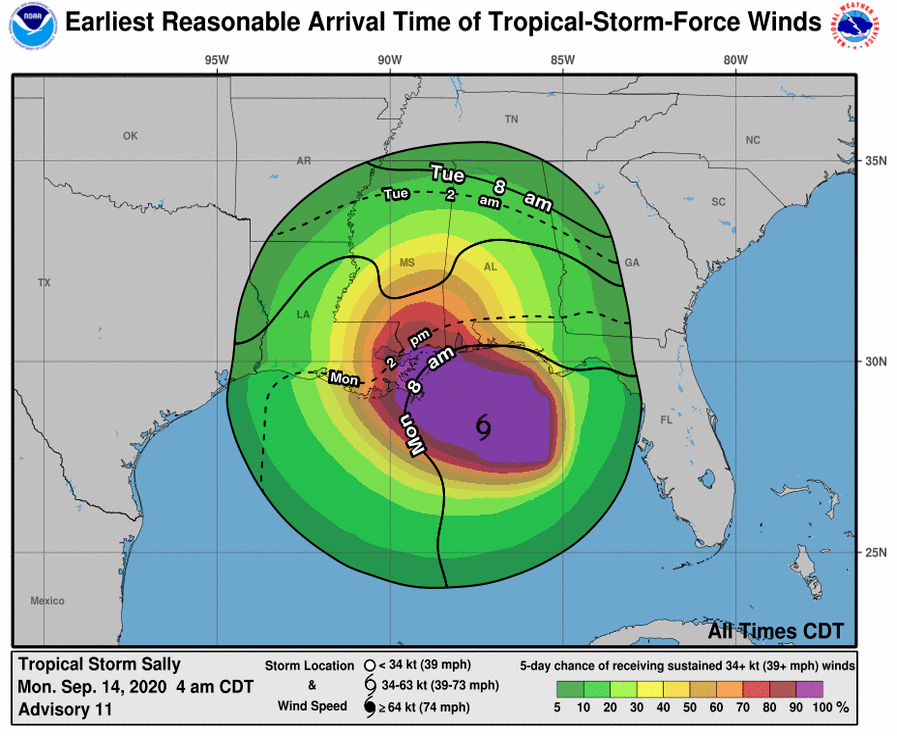
Tropical-storm-force winds extend outward up to 125 miles from the center of the storm.
This area is under a tropical storm warning and a flash flood watch. The National Weather Service in Mobile is forecasting wind speeds here between 39-to-57 mph.
Winds could cause downed tree limbs causing power outages, among other damage.
Peak rainfall amounts are between 6 and 8 inches with the heaviest on Tuesday and Wednesday, according to the NWS.
There is also the possibility of isolated tornadoes.
Sally is moving toward the west-northwest at 8 mph and is expected to approach southeastern Louisiana this afternoon, making landfall tomorrow.
Tropical Storm Sally is forecast to become a hurricane by tonight with additional strengthening possible before landfall.
Forecast wind speed prior to landfall is 85 mph making Sally a category 1 storm.
