HOLT, Fla., Nov. 28, 2020—Rain is in the forecast for tomorrow as a cold front moves through followed by subfreezing temperatures Monday and Tuesday night.
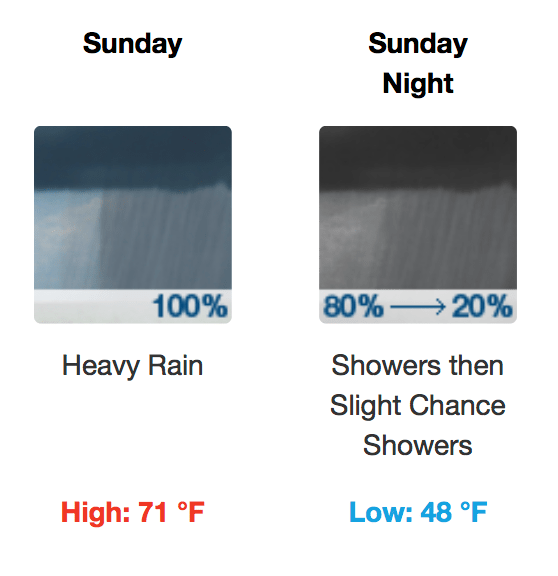
Showers and thunderstorms are possible tomorrow into tomorrow night with some storms possibly producing heavy rainfall, according to the National Weather Center in Mobile.
Chance of precipitation is 100 percent.
South winds forecast at 10-to-15 mph will switch to the northwest after midnight with gusts as high as 20 mph.
Behind the front, temperatures drop to below seasonal norms, according to the NWS.
Sunday night will be the warmest night with low temperatures around 48 degrees.
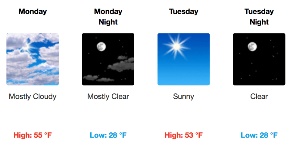
Monday and Tuesday nights will see the first freezes of the season with lows around 28 degrees both nights.
The NWS expects to issue a freeze watch Monday night.
Related: “Freeze preparedness tips”
High temps in the low-to-mid 50s are expected Monday and Tuesday, well below seasonal norms, according to the NWS.
National Weather Service forecast
