HOLT, Fla., March 22, 2021—Another round of severe weather is in the forecast for Thursday according to the National Weather Service.
A prolonged period of heavy rain is forecast beginning Tuesday and lasting through Thursday.

Widespread, 3-to-4 inches is expected with higher amounts possible locally in some areas.
Severe weather potential increases Wednesday into Thursday, according to the NWS.
Wednesday into Wednesday night features a level 2 risk for severe storms, including an isolated brief tornado, damaging winds and quarter-size hail to the southwest of the forecast area along some of the same areas hit with last week’s severe weather.
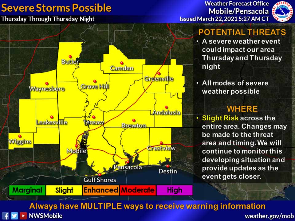
Thursday through Thursday night may feature a more robust severe threat with the entire forecast area under a level 2 risk, according to the NWC.
All hazards are possible, including damaging winds, tornadoes and large hail.
Rain chances continue into the weekend.
National Weather Center in Mobile forecast
