
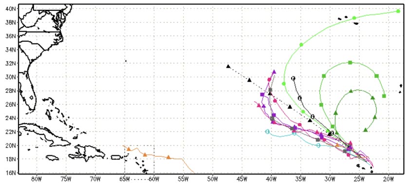
HOLT, Fla., Sept. 1, 2022—Tropical Storm Danielle formed this morning in the central Atlantic.
It is forecast to strengthen into a category 1 hurricane in a day or two and peak in intensity in about four days, according to the National Hurricane Center.
Danielle is not expected to be a threat to the United States.
This is the first named storm since July 3 during what forecasters predicted to be an above-average hurricane season.
It is also the first season in 80 years there were no named storms in the July 3 through Aug. 30 timeframe.
Additionally, only two years, 1961 and 1997, had no named storms in August.
That said, the traditional climatical peak of the hurricane season is nine days away, Sept. 10. September and October have traditionally been active storm months.

Meanwhile, Invest 91 continues its west-northwest track in waters adjacent to the Leeward Islands.
It is at 70 percent. However, it is moving into marginally favorable conditions and any additional development could lead to the formation of a tropical depression.
Further out in the eastern Atlantic, Invest 94 has less of a chance to develop into a short-lived tropical depression as it moves into less favorable conditions. It’s at 20 percent.
