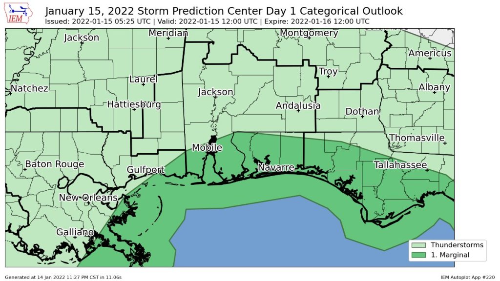
HOLT, Fla., Jan. 15, 2022—Showers and thunderstorms are possible today ahead of a cold front moving through the forecast area.
The National Weather Service’s Storm Prediction Center has placed this area is under a Level 1 severe weather risk today through tonight.
Showers and thunderstorms are possible ahead of a strong cold front moving across the area tonight.
Strong-to-severe storms remain limited through this afternoon and will generally be confined to the western Florida panhandle, according to the NWS.
Southeast winds at 10 to 15 mph with gusts up to 20 mph are forecast, shifting to the west behind the front.
As significantly cooler air spreads over the forecast area Saturday night, low temperatures in the mid 30s to low 40s are expected.
Sunday will see the full brunt of the post frontal cold air, with temperatures remaining well below seasonal norms (mid 40s to around 50), according to the NWS.
National Weather Service forecast
